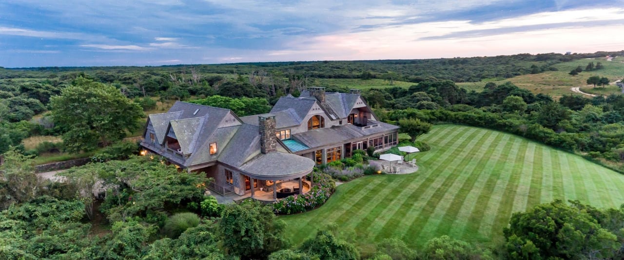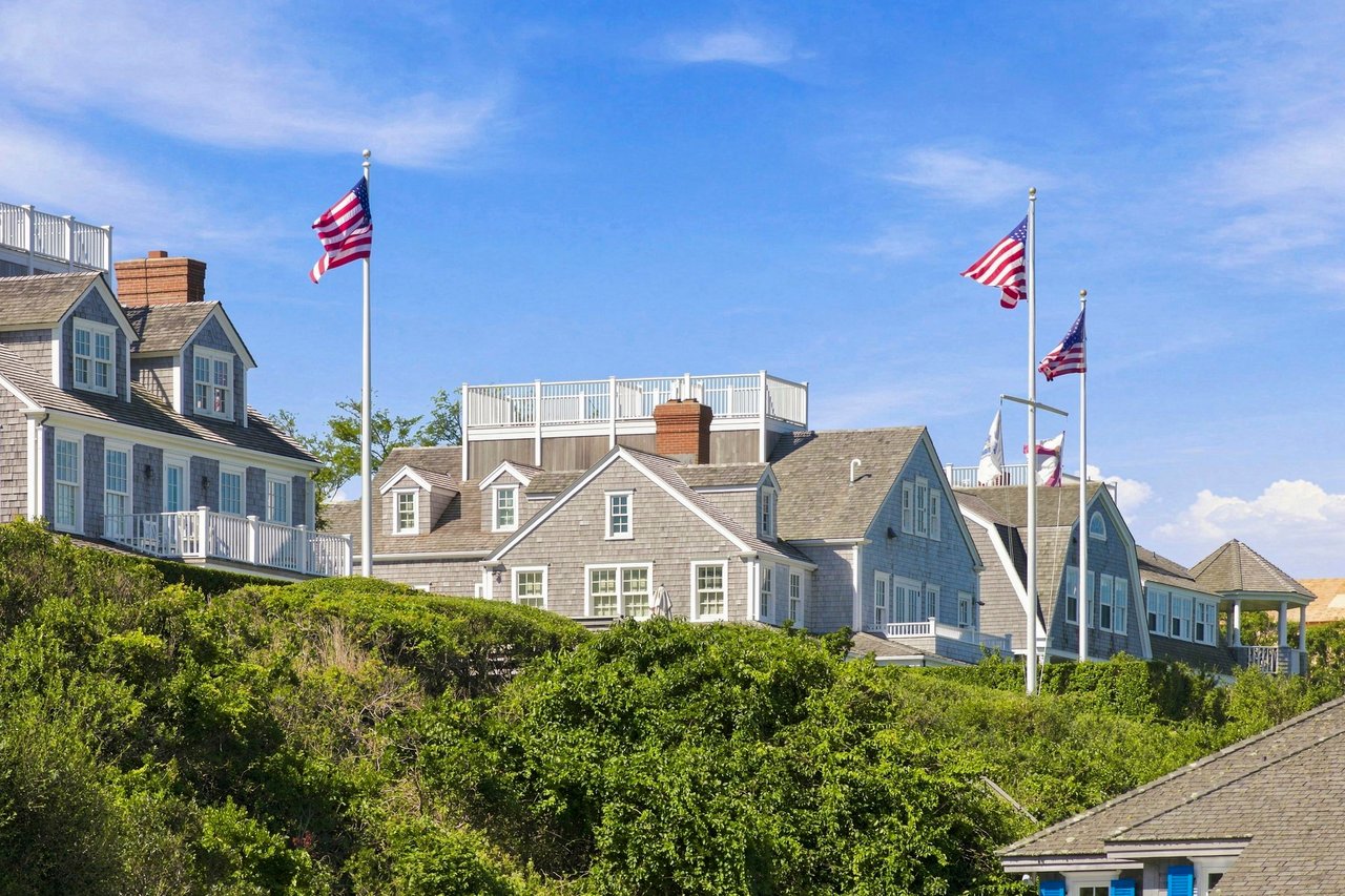
More than half of Nantucket's land is permanently protected conservation land, and the island's network of walking and hiking trails is where that protection becomes something you can experience directly. From easy waterfront strolls to a point-to-point trail that spans the entire island, Nantucket's trails reveal a side of the island that few visitors ever see from a car or a bike. Bernadette Meyer shares the routes worth knowing, and why the land behind them matters as much as the paths themselves.
Trail Highlights
- Nantucket's trail network runs through Nantucket Conservation Foundation, Land Bank, Massachusetts Audubon, and town-owned land, much of it free and open to the public year-round.
- The Coast to Coast Trail is the island's signature hike: roughly 24 miles from Hoicks Hollow Road in 'Sconset to the west end of the island, with about 646 feet of total elevation gain, the most of any trail on Nantucket.
- Shorter, easier options like the Sconset Bluff Path and Tupancy Links suit visitors who want a scenic walk without a full-day commitment.
- The island's conservation land is not incidental; it is a large part of what limits development and protects Nantucket's long-term character and property values
The Coast to Coast Trail: the island's signature hike
For anyone who wants to see Nantucket from end to end, the Coast to Coast Trail is the trail that does it. Maintained by the Nantucket Land Bank, it runs roughly 24 miles from the trailhead at the end of Hoicks Hollow Road in 'Sconset to North Cambridge Street on the island's west end, crossing Land Bank, Conservation Foundation, Massachusetts Audubon, and town land along the way. Trail markers are set up to be walked east to west, timed so hikers finish with a west-facing sunset over the water.
Despite its length, the Coast to Coast Trail is notably flat: total elevation gain is only about 646 feet, more than any other trail on the island, but modest by mainland hiking standards, since Nantucket's highest point sits at roughly 109 feet above sea level. The trail is broken into six sections, each with its own parking area, so it can be hiked in shorter segments rather than all at once. Along the way it passes through sandplain grasslands, coastal heathland, scrub oak, pitch pine barrens, hardwood forest, bogs, salt marsh, and three of the island's four Great Ponds, a genuine cross-section of Nantucket's ecology in a single hike.
Altar Rock and the moors
For sweeping views without the full-day commitment, Altar Rock sits near the island's high point and offers one of the best panoramas on Nantucket, the open moors rolling out in every direction, particularly striking when the heathland turns russet and gold in autumn. Maintained by the Nantucket Conservation Foundation, the surrounding trail network connects to a wider system of moorland paths for those who want to extend the walk.
Sanford Farm, Ram Pasture, and The Woods
One of the island's most complete short-hike experiences, this trail begins from the parking area on Madaket Road and moves through varied terrain: former farmland at Sanford Farm, open grassland at Ram Pasture, and forest at The Woods. Numbered markers and interpretive signs along the route detail the area's historic, geologic, and natural features, making it a rewarding walk for anyone curious about how the island's landscape came to look the way it does. The Nantucket Conservation Foundation maintains the trail.
Coastal and shorter walks
Several shorter trails suit visitors looking for a scenic walk rather than a full hike. The Sconset Bluff Path is a relatively easy 2-mile route along the bluffs on the island's eastern shore, with only about 49 feet of elevation gain, passing through the historic village of 'Sconset with ocean views for much of its length. Tupancy Links, a gift to the island from Mr. and Mrs. Oswald A. Tupancy, offers a shorter loop of under a mile just north of Cliff Road, mixing coastal and woodland scenery.
The Gardner Farm Loop, accessible from the Millbrook Road parking area, winds through Millbrook Woods and Heritage Orchards, home to the endangered northern long-eared bat, before connecting to the Lost Farm Wildlife Sanctuary and trails at Gardner Farm. Jointly maintained by the Nantucket Land Bank and Massachusetts Audubon, it is a good short loop for spotting birdlife in a quieter corner of the island.
Masquetuck Reservation
On the island's northeast side bordering West Polpis Harbor, the Masquetuck Reservation packs a striking range of habitat into a single walk. The trail passes through rare hardwood forest, small woodlands formed in glacial depressions that represent one of the island's few mature, stable forest ecosystems, alongside freshwater bog, maritime forest, and salt marsh bordering the harbor. It is one of the better spots on Nantucket for observing waterbirds and shorebirds, and a favorite for visitors interested in the island's ecology rather than just its views.
Why Nantucket's conservation land matters
Nantucket's trail network exists because of a deliberate, decades-long effort to protect the island's open land. More than half of Nantucket's total acreage is now permanently conserved through the Nantucket Conservation Foundation, the Land Bank, and partner organizations, land that will never be developed. That scale of protection is unusual for a place under this much development pressure, and it is a major reason Nantucket has retained the character that continues to draw buyers to the island.
For property owners and buyers, this matters beyond scenery. Protected land constrains supply in a market already defined by scarcity, which is part of what supports Nantucket real estate values over the long term. It also means that a walk through the moors or a hike along the Coast to Coast Trail is not just a pleasant afternoon; it is direct exposure to the same qualities, open space, natural beauty, a slower pace, that make living on Nantucket different from other coastal markets. For more on that connection, see living on Nantucket and things you might not know about Nantucket.
Nantucket trails questions
Nantucket walking and hiking trail questions, answered
What is the best hiking trail on Nantucket?
The Coast to Coast Trail is Nantucket's signature hike, running roughly 24 miles from 'Sconset to the island's west end and passing through nearly every major habitat type on the island. For a shorter option, Sanford Farm, Ram Pasture, and The Woods offers a well-marked, varied route in a few hours, while the Sconset Bluff Path suits those wanting an easy, scenic coastal walk.
How long is the Coast to Coast Trail on Nantucket?
The Coast to Coast Trail is approximately 24 miles long, running point to point from Hoicks Hollow Road in 'Sconset to North Cambridge Street on the island's west end. Total elevation gain is about 646 feet, the most of any trail on the island, though modest overall given Nantucket's flat terrain. The trail is divided into six sections with separate parking areas, so it can be hiked in shorter segments.
Are Nantucket's trails free to use?
Yes. The great majority of Nantucket's trails run through land maintained by the Nantucket Conservation Foundation, the Nantucket Land Bank, and Massachusetts Audubon, and are free and open to the public year-round. Some trailheads have limited parking, particularly in peak season, so arriving early is worthwhile.
How much of Nantucket is protected conservation land?
More than half of Nantucket's total land area is permanently protected as conservation land, held by organizations including the Nantucket Conservation Foundation, the Nantucket Land Bank, and Massachusetts Audubon. That level of protection is a major factor in preserving the island's open space, natural character, and long-term property values.
Expert Perspective
Discuss Your Nantucket Goals With Bernadette
Nantucket's protected open space is part of what makes the island a place people want to call home, not just visit. Whether you are exploring the island or considering a move, Bernadette can help you understand what that means for your goals.